-
ECOSTRESSGallery The ECOsystem Spaceborne Thermal Radiometer Experiment on Space Station (ECOSTRESS) mission measures the temperature of plants to better understand how much water plants need and how they respond to stress. ECOSTRESS is attached to the International Space Station (ISS) and collects data globally between 52° N and 52° S latitudes. thakarashard.github.io/rashardmro/2026/04/28/ECOSTRESSMonitoringplantsfromspace.html
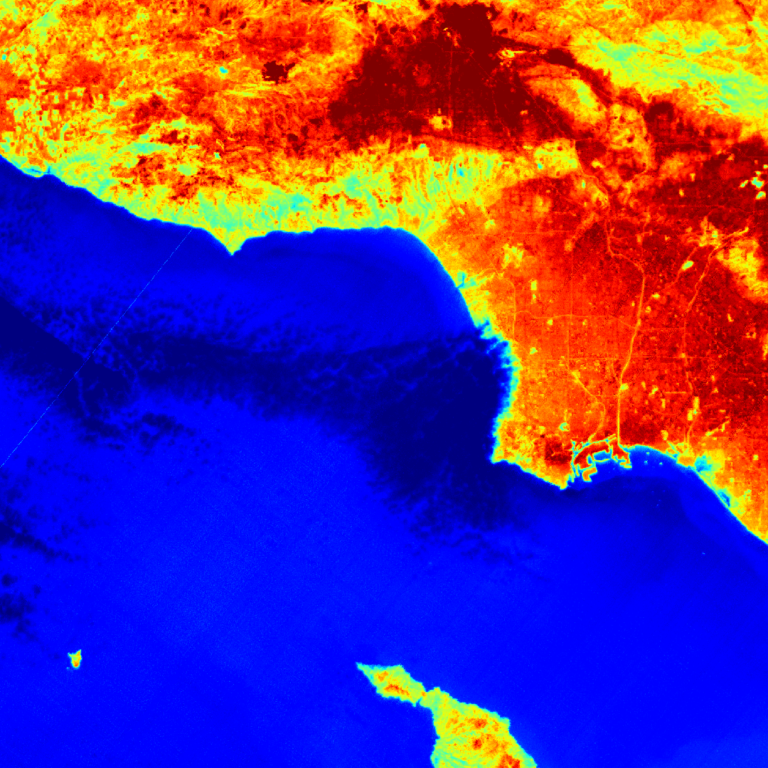
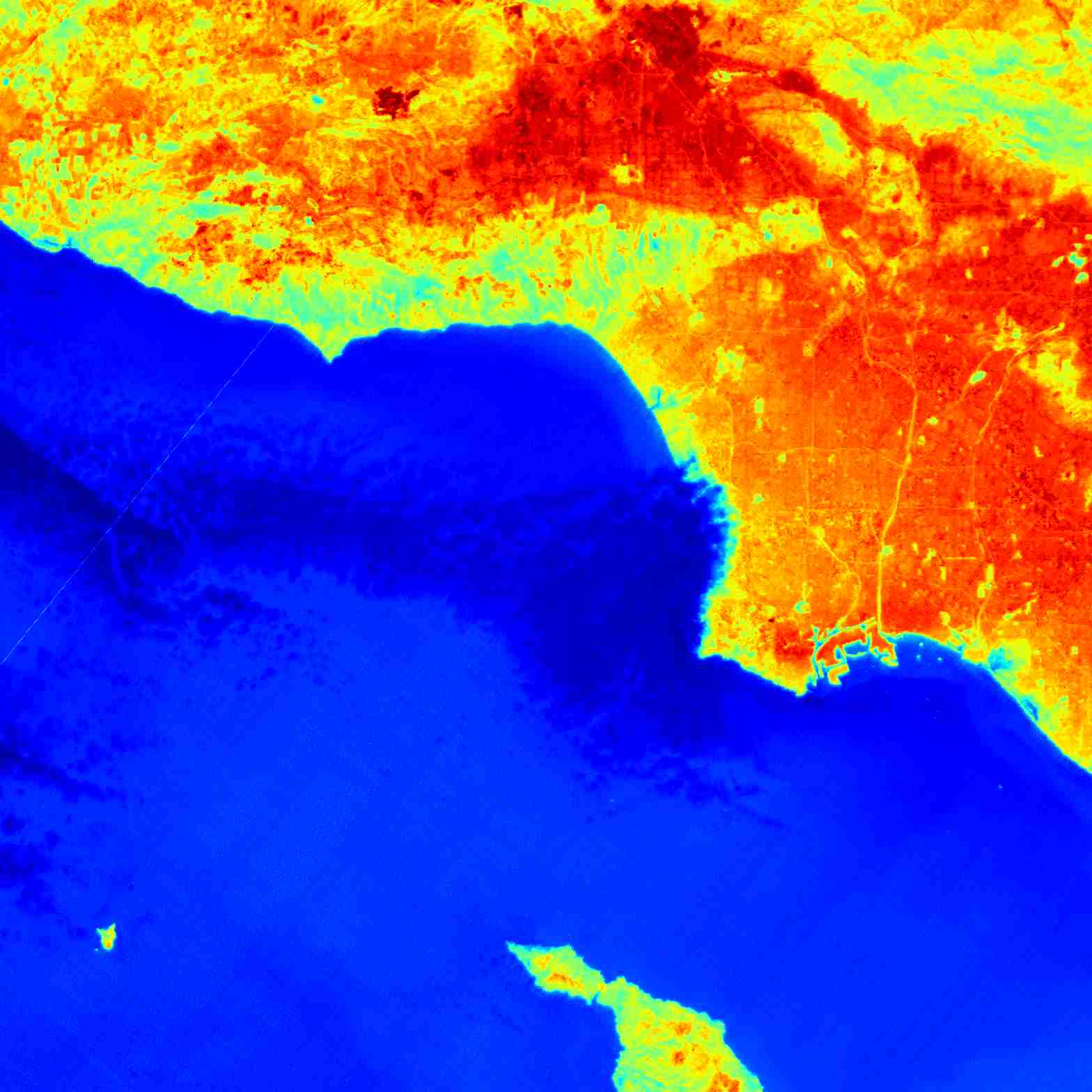
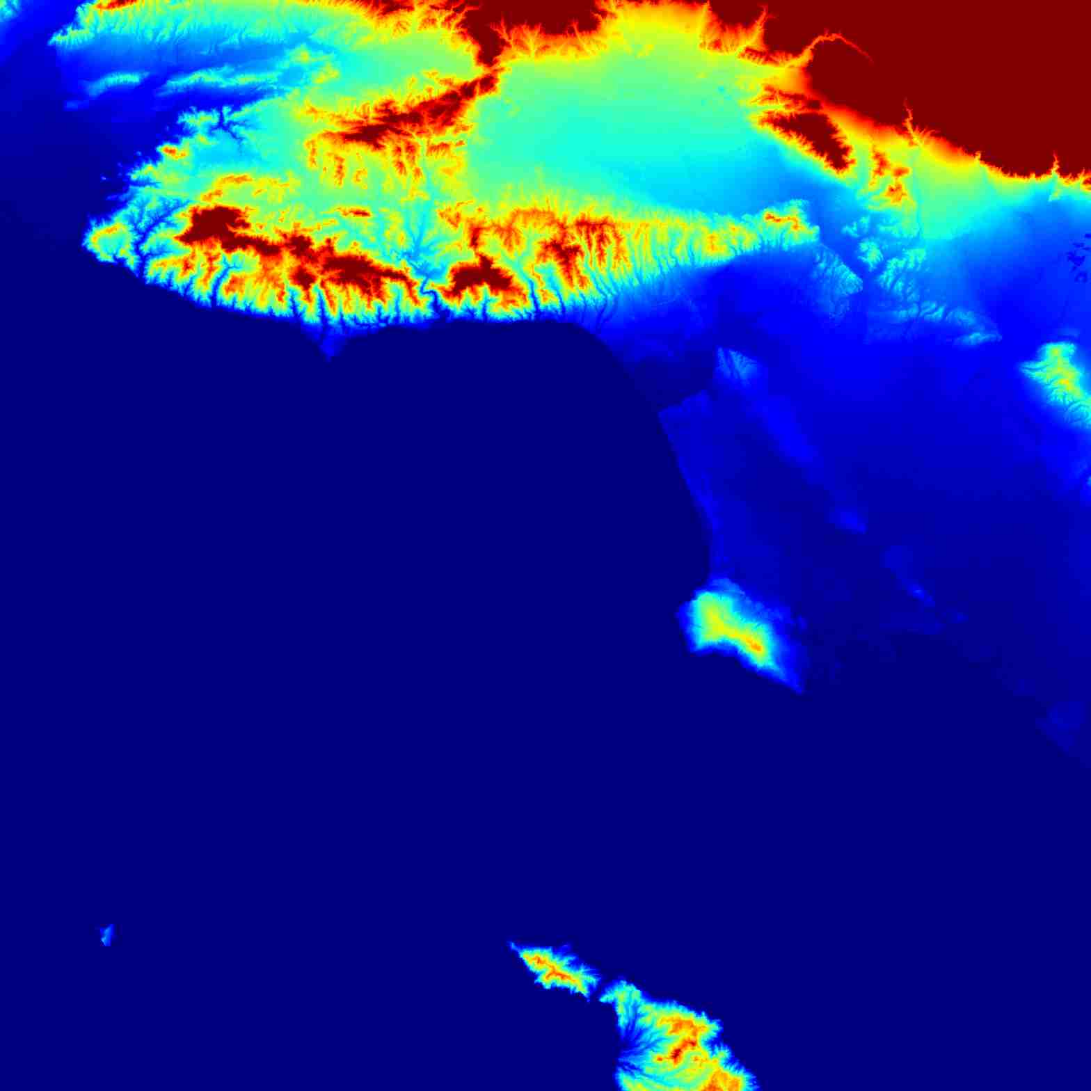
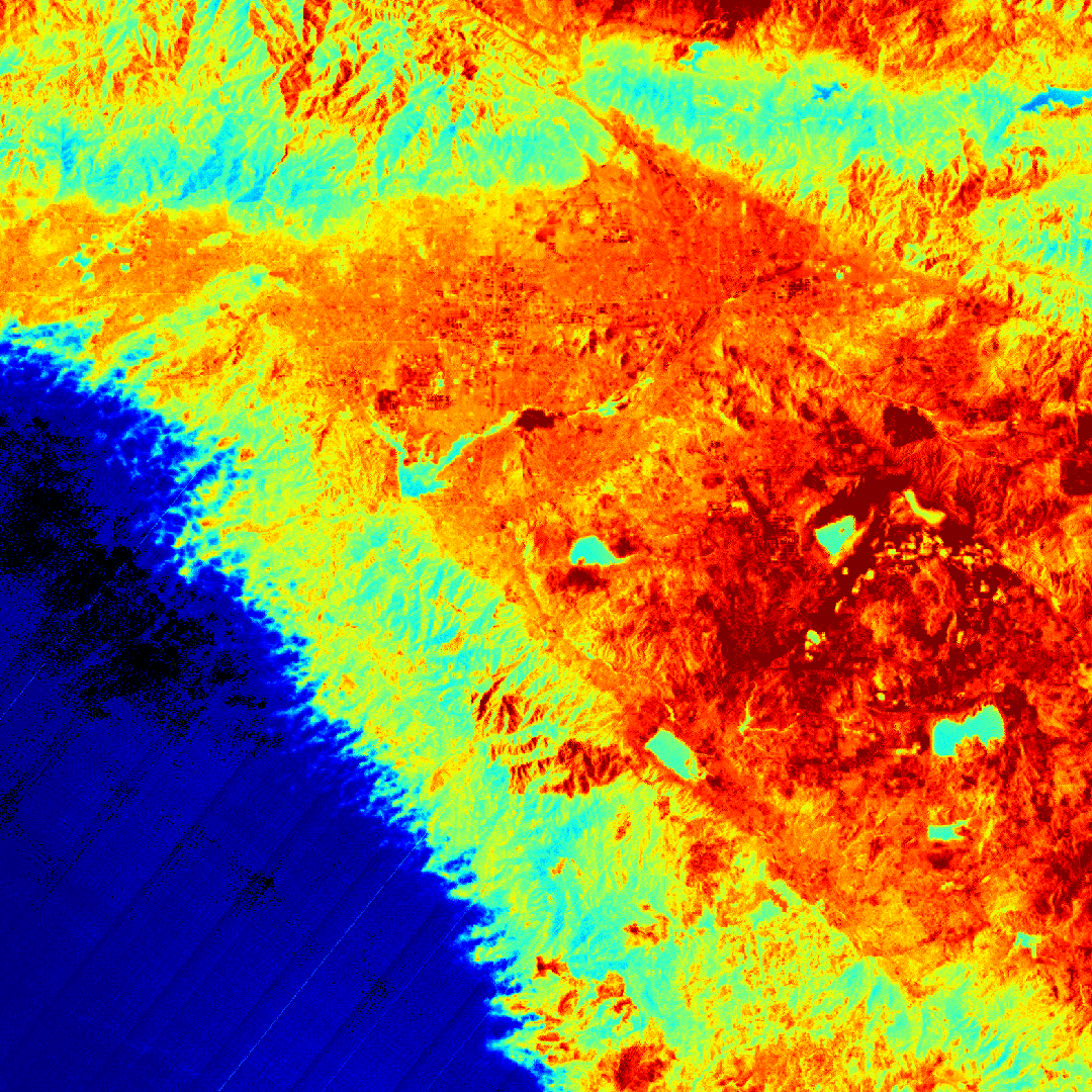
Los ANgeles surface water
LARiVER is well defined @doug-newman-nasa i want this to count for my homewwork @nasa-jpl @blackgirlscode @whitehouse @virtiserv @CityOfLosAngeles @StateOfCalifornia agenda
NASA ARSET : Overview of Global Flood Product Derived from @NASA Optical observations Part 1/3
We acknowledge the use of imagery from the NASA Worldview application (https://worldview.earthdata.nasa.gov), part of the NASA Earth Science Data and Information System (ESDIS).
We acknowledge the use of imagery from the NASA Worldview application (https://worldview.earthdata.nasa.gov), part of the NASA Earth Science Data and Information System (ESDIS).
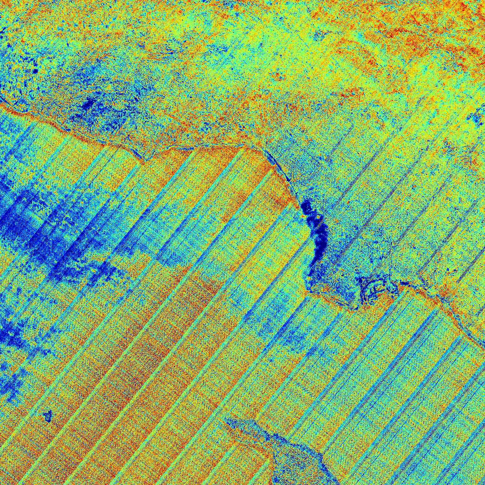
Los Angeles Land Disturbances https://archive.org/download/animalfarm1954_20190809/Animal%20Farm%201954.mp4 @blackgirlscode @nasa-pds @cityoflosangeles @la-county-isd https://worldview.earthdata.nasa.gov/?v=-135.8593662222333,5.680687349006892,-108.51795997823551,67.11276384685583&l=Reference_Labels_15m(hidden),Reference_Features_15m(hidden),Coastlines_15m(opacity=0.67),OPERA_L3_DIST-ALERT-HLS_Color_Index(disabled=9),VIIRS_NOAA21_DayNightBand,HLS_L30_Nadir_BRDF_Adjusted_Reflectance(hidden),HLS_S30_Nadir_BRDF_Adjusted_Reflectance(hidden),Land_Water_Map&lg=true&tr=land_disturbance&t=2026-06-16-T17%3A54%3A36Z
We acknowledge the use of imagery from the NASA Worldview application (https://worldview.earthdata.nasa.gov), part of the NASA Earth Science Data and Information System (ESDIS).
We acknowledge the use of imagery from the NASA Worldview application (https://worldview.earthdata.nasa.gov), part of the NASA Earth Science Data and Information System (ESDIS).
We acknowledge the use of imagery from the NASA Worldview application (https://worldview.earthdata.nasa.gov), part of the NASA Earth Science Data and Information System (ESDIS).
@CityOfLosAngeles Is Hilda Solis Lady Pink ? @lacounty-isd @stateofcalifornia @whitehouse @nasa-jpl